We're celebrating 10 years of Muni Forward! Pick up a limited-edition Muni Forward Passport at a Transit Month event or participating business while supplies last during the month of September 2024. Use the passport to explore ten of Muni Forward’s project corridors, including the 38 Geary.
The Geary Rapid Project was completed in fall 2021. We thank our community partners and all residents and merchants along the corridor for your support throughout construction. This three-year capital project, completed on schedule and on budget, has upgraded one of San Francisco’s busiest corridors between Market and Stanyan streets with safety improvements, more reliable bus service and utility upgrades. We’re excited to share the many ways it has made traveling on Geary a safer, more accessible experience for everyone.
Geary has long been one of San Francisco’s busiest arterials, connecting the heart of the city to the ocean. Vibrant Japanese and African American communities in the Western Addition were torn apart in the 1960s when Geary Boulevard was converted into an eight-lane expressway. This change made Geary a less safe street: a person walking on Geary was eight times more likely to be involved in a serious collision than the average San Francisco street.
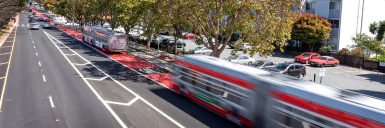
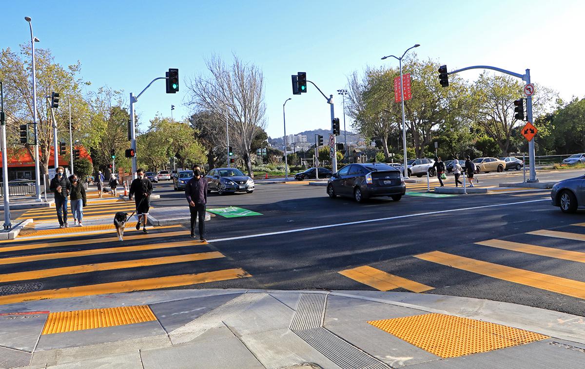
Designed with local input, this Muni Forward project has upgraded three miles of Geary from Market to Stanyan with new bus lanes and crosswalks, calming the Geary Expressway and helping to reconnect long-divided communities. Pedestrian countdown signals let people know how much time they have left to cross. Median refuges and sidewalk extensions help shorten crossing distances.
Thanks to new transit lanes, transit signal priority, optimized bus stop locations and bus bulb-outs, the 38 Geary is faster than ever with up to 18% shorter bus travel times and a 37% improvement in reliability. Learn more about the Geary Rapid Project evaluation results.
A second phase of Geary improvements is underway to bring similar transit and safety benefits west of Stanyan Street to 34th Avenue, with quick-build improvements already complete.
Learn more:
- Review block-by-block design details
- Learn about pre-construction transit and safety treatments, including bus stop changes
- Frequently asked questions
- 已完成 (Completed)
Project Location
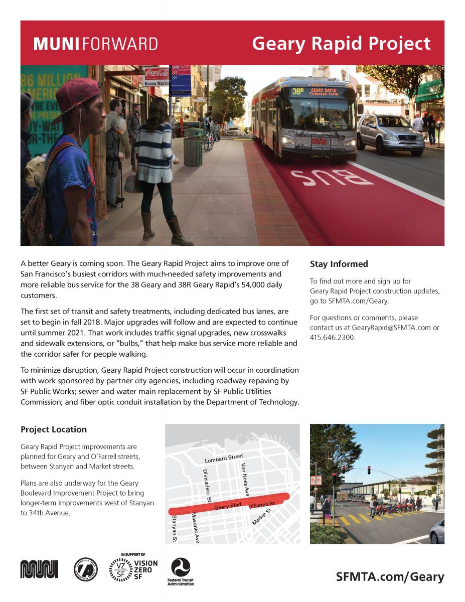
The Geary Rapid Project included transit and safety improvements on Geary and O'Farrell between Stanyan and Market streets. Plans are also underway for the Geary Boulevard Improvement Project to bring improvements west of Stanyan to 34th Avenue.
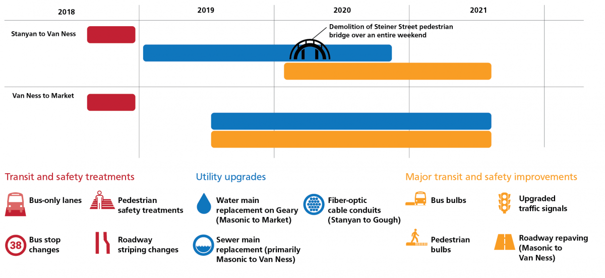
Project Timeline
Coordinated Work Sponsored by Partner City Agencies
To minimize the impact of construction on our streets, San Francisco has established a City policy requiring the coordination of construction projects in the public right-of-way. Repairs alone are not enough to keep pace with our aging and seismically vulnerable infrastructure.
The Geary Rapid Project partnered with other City agencies to bring much-needed improvements to Geary, including:
- San Francisco Public Works-sponsored roadway repaving upgraded 1.5 miles of deteriorated streets to provide you with a smoother ride.
- San Francisco Public Utilities Commission-sponsored work replaced or rehabilitated 1.5 miles of aging sewer lines and two miles of water lines, ensuring residents and businesses will continue to receive high quality and reliable services around the clock. Many of these sewer and water lines under Geary were over 100 years old!
- Department of Technology-co-sponsored installation of 1.75 miles of underground conduits for fiber optic cables to provide internet services and connect traffic signals.
Download and Print Geary Rapid Project Flyers
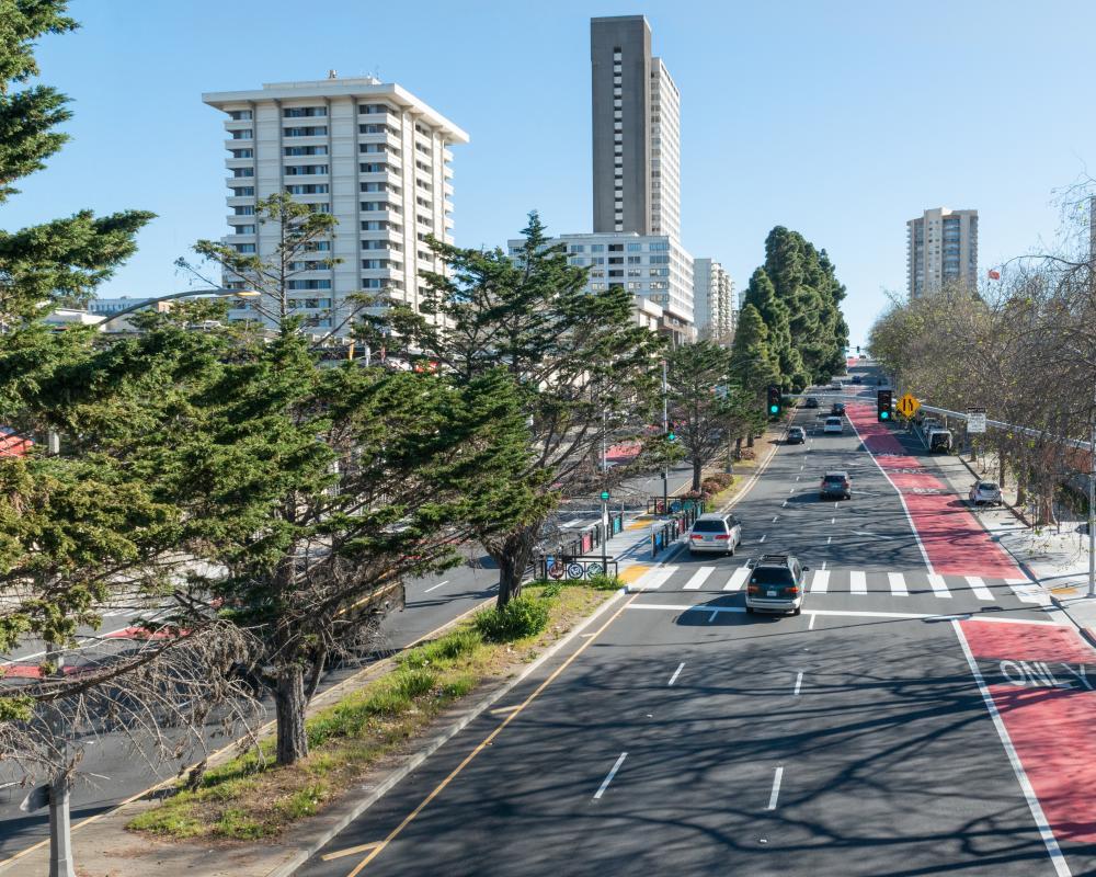
Photo shows new crosswalk at Geary and Buchanan with median waiting area and decorative panels highlighting the neighboring communities. Previously, the closest crosswalks were two long blocks apart. This new crossing provides a direct connection between Japantown, the Fillmore and St. Francis Square.
Photo of improved Geary and Steiner streets, with the Steiner Bridge removed and improved crosswalks and medians.
