Great Highway Pilot Evaluation Project

10/6/2023 - Data collection will be occurring on and adjacent to the Upper Great Highway starting next week. 

Traffic data collection will include:

  • Vehicle volumes and speeds
  • Vehicle travel time on Upper Great Highway
  • Vehicle travel time on adjacent streets
  • Vehicles, Pedestrians and Bicyclists turning movements at intersections
  • Vehicles yielding to pedestrians at crosswalks
  • Bike volumes
Введение к проекту (Project Introduction)

Background: Car-free Upper Great Highway

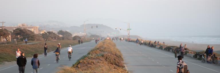
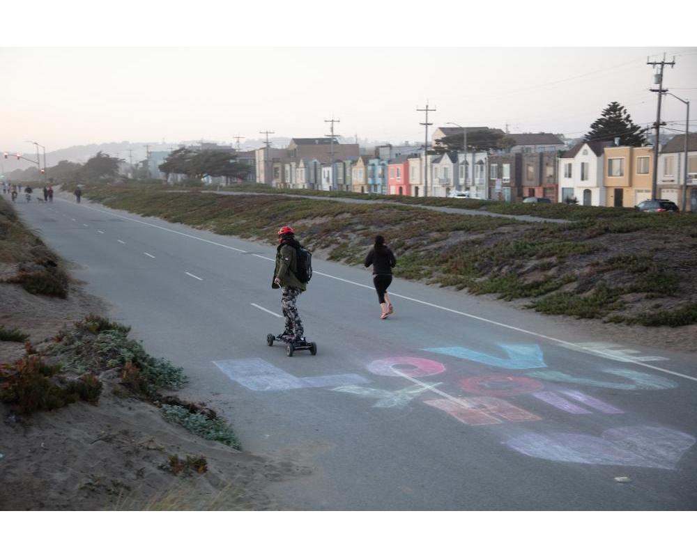
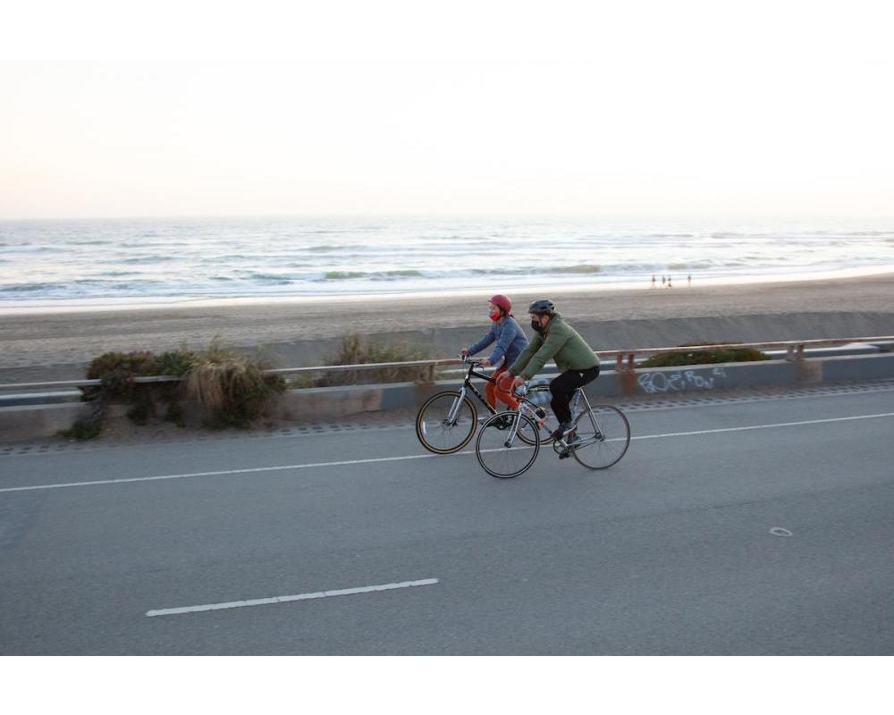
The Great Highway is a 3.8-mile-long roadway running along Ocean Beach on the westernmost side of San Francisco. The Upper Great Highway is a two-mile segment of this roadway, between Lincoln Way and Sloat Boulevard. On weekends, this area becomes a 17-acre park with a 2-mile promenade, while on weekdays it is a roadway with an adjacent trail.

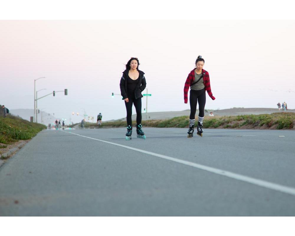
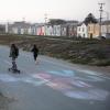
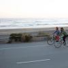
The conversion of Upper Great Highway as a car-free promenade began during the COVID-19 pandemic and has provided outdoor recreational space for families, people on bicycles and in wheelchairs, people with walkers or other mobility assistance devices, people with strollers, and people walking, jogging, skateboarding and more. 

The area, which was created and designated under San Francisco park jurisdiction in the 1870s as a space for recreation, also provides a valuable scenic public promenade that can accommodate higher volumes of use than the adjacent pathways. In addition, it offers recreational access to the beachfront to people who cannot easily use the beach itself.

Great Highway Visitor Data

Total Visits - 2.8 million (April 2020 to October 2022) 
Friday Visits - 1,300 daily (August 2021 to October 2022)  
Weekend Visits - 3,100 daily (August 2021 to October 2022)  

Traffic Calming around Great Highway

The Great Highway Outer Sunset Traffic Management Project  was developed to address community concerns related to changing traffic patterns during the time that the Upper Great Highway was being used by families, bicyclists, and pedestrians during the COVID-19 pandemic.

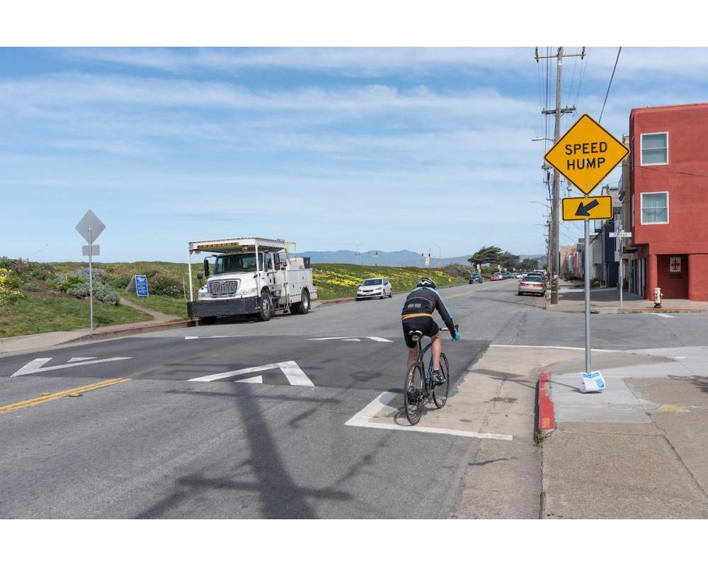
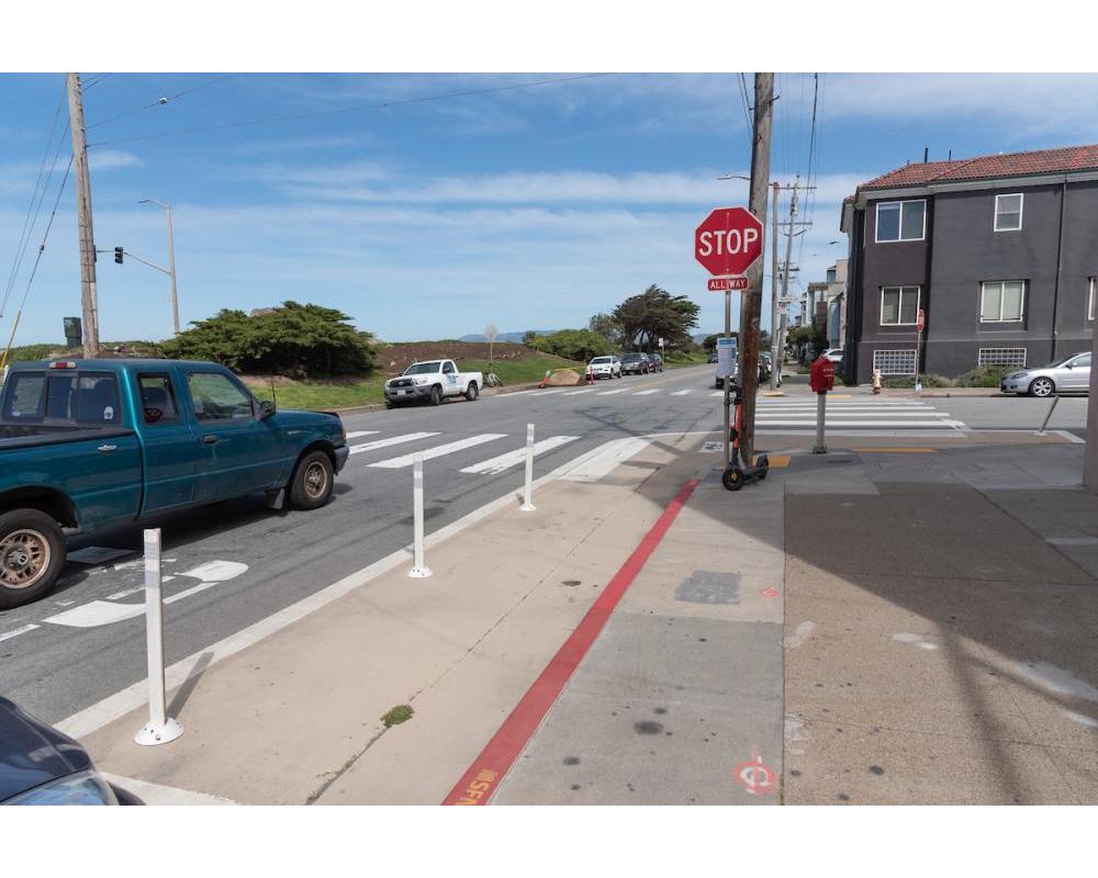
The work included collecting traffic speed and volume data, evaluating current safety and traffic conditions, using traffic management tools such as signs and traffic diverters to manage traffic and improve safety, as well as identifying street and network changes that could complement future uses of the Great Highway. 

During that time, the SFMTA worked in partnership with the Recreation and Parks Department to develop and implement a comprehensive and integrated traffic calming strategy that responded to the concerns that were heard from residents of the Outer Sunset and Richmond Districts. The traffic calming measures were completed in April 2021.

In spring 2021, the SFMTA and the Fehr and Peers consultant team conducted a comprehensive operational analysis to better understand impacts and pressure points in the circulation system as a result of the COVID-19 temporary closures of roads in Golden Gate Park and along the Great Highway. That summer, traffic speed and volume data was collected and analyzed to understand the effectiveness of the traffic calming measures that were implemented. The findings shown that 7 of 7 locations saw a decrease in traffic volumes between January and June 2021 and that 7 of 7 locations saw a reduction in traffic speed. These findings indicate that the traffic calming measures were successful in helping to reduce both speed and volume throughout the Outer Sunset. You can view more at Traffic Monitoring and Westside Circulation Study - August 2021 Update.

Project Timeline
Spring 2023 to 2025
Pilot Evaluation Period
Pending
Summer 2023
Provide Draft Traffic Management Recommendations
Pending
2025
Provide Final Traffic Management Recommendations
Pending
Статус проекта (Project Status)
  1. Project Evaluation
Cost Estimate
Микрорайоны (Neighborhoods)
Streets

Pilot Project

In December 2022, the San Francisco Board of Supervisors passed an ordinance to maintain the Upper Great Highway between Lincoln Way and Sloat Boulevard as a car-free promenade until December 31, 2025, allowing for a three-year pilot study. This preserves the current schedule of closing the road to motor vehicle traffic on weekends beginning on Friday afternoons at 12 p.m. until Monday mornings at 6:00 a.m. and on holidays.

The San Francisco Recreation and Park Department is ready to implement the plan approved by policymakers. The pilot allows the Recreation and Park Department and the SFMTA to collect more robust data on the Upper Great Highway’s use as both a roadway and a promenade, as well as gather additional public feedback.

We will report our findings to all project stakeholders at regular intervals throughout the duration of the project program. Ultimately, this thorough research will be used to make a recommendation to the Board of Supervisors for consideration on the Upper Great Highway’s long-term future.

For more information, visit SF Recreation and Park Department - Great Highway Pilot .


San Francisco County Transportation Authority logo
San Francisco Recreation and Parks logo
Vision Zero SF logo
Контактная информация (Contact Information)
Thalia Leng, Senior Transportation Planner
415.646.4381
Maurice Growney, Transportation Engineer
415.646.2647