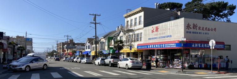
The Irving Street corridor is a vibrant and vital backbone to the northern Sunset District community, with businesses and institutions serving nearby residents and cross-town visitors. Balancing the many pressures on the area's limited on-street curb, whether for commerce-serving and residential parking, freight and passenger loading, pedestrian safety measures, and other purposes, is a challenging and important part of street management.
The study area for this project will center on Irving Street, from 17th Avenue to 30th Avenue, extending north to Lincoln Way and south to Judah Street. Click the map to the right for a closer look at the draft study area; the specific boundaries may be adjusted as the project moves forward.
The SFMTA will observe and catalog existing conditions and curb uses in the study area, gather comments and suggestions from the public, and develop recommendations for potential parking and curb use changes to improve the safety, equity, and efficiency of the corridor's streets, for everyone's sake.
Project work will begin in 2022 – sign up for project updates and we'll be sure to keep you posted!
