The results are in! Check out the evaluation report fact sheet in English and Chinese.
- Completed
The California Street Safety Project improves safety for those traveling on the corridor by reconfiguring the roadway from four lanes to three, upgrading crosswalks, daylighting and other safety improvements. California Street is part of the city’s Vision Zero High-Injury Network that consists of the 13 percent of all San Francisco streets that account for 75 percent of severe and fatal collisions.
Background
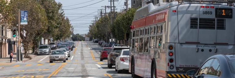
On California Street from Arguello Boulevard to Park Presidio Boulevard, a roadway reconfiguration from four lanes to three was implemented to improve safety for all road users. On this stretch of the corridor, there have been 57 injury collisions in the past five years, including 4 pedestrian-involved collisions. This segment of California Street also had a high rate of Muni-involved collisions, with 35 transit collisions in five years. At 8 to 9 feet wide, the travel lanes were not wide enough in this area for Muni vehicles, which are 10.5 feet wide. As a result, Muni vehicles would straddle multiple lanes, leading to sideswipe collisions. In addition, having multiple lanes in each direction can encourage higher traffic speeds and can make crossing the street more challenging for pedestrians.
What is a road diet?
A road diet is a traffic safety measure that is widely used in San Francisco and across the country. Similar road diets that convert four lane street to a three lane street with a center turn lane have shown an 19-47% reduction in collisions, according to the Federal Highway Administration. A local example of an effective road diet on 25th Avenue in the Richmond reduced collisions by about 20%, while a road diet on Fulton Street between Central and Stanyan reduced collisions by 43%.
^Example of existing conditions and roadway reconfiguration on 25th Avenue.
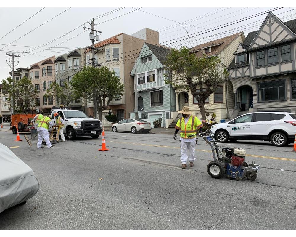
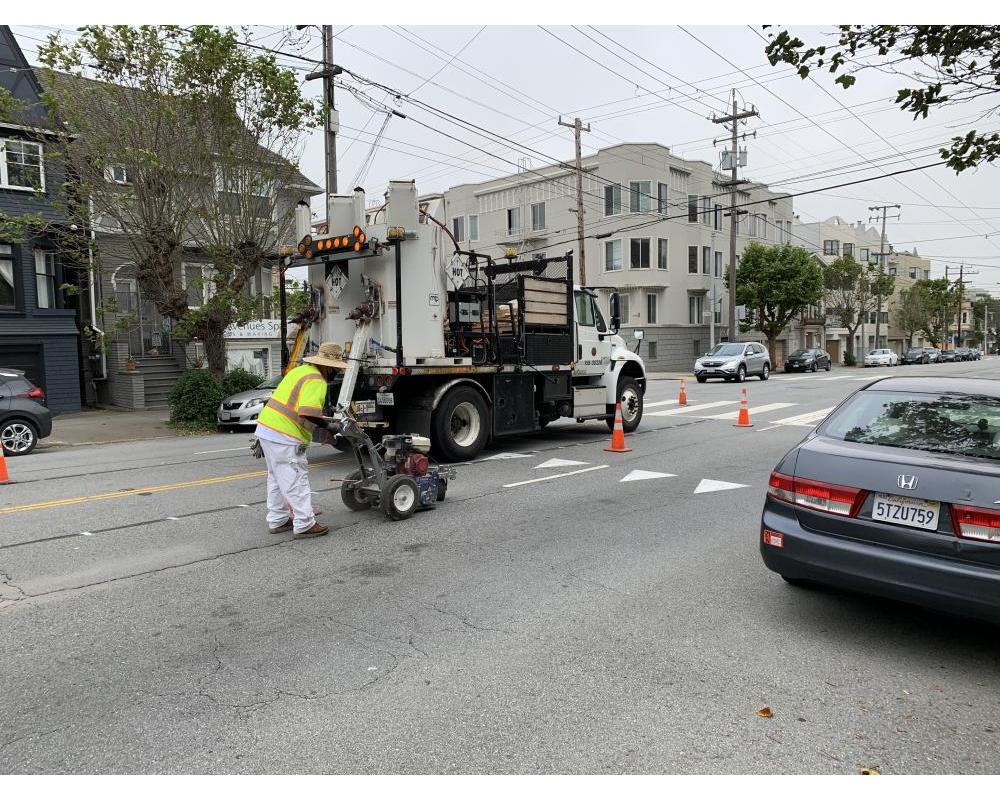
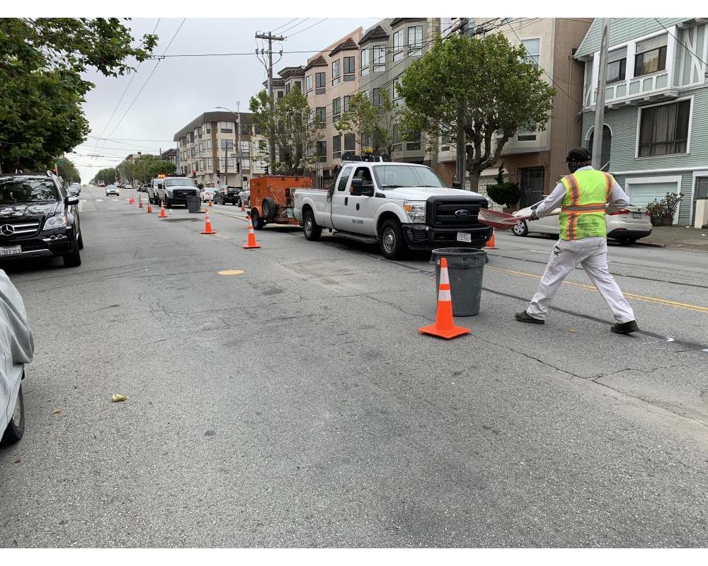
In tandem with this effort, on California Street from Arguello Boulevard to 18th Avenue, improvements were installed, which included daylighting, high-visibility crosswalks and pavement marking to improve safety for people of all ages on a street with historically high rates of injury-related collisions. This project is part of the Vision Zero Quick-Build Program. As part of our commitment to the program, these improvements were installed at the end of 2019.
- Daylighting - added red painted curbs at intersection approaches to improve visibility for all road users
- Reconfigured the roadway from four lanes to three to include one lane in each direction, with a flexible center turn lane
- Continental Crosswalks
- Advanced Limit Lines
- Signs
- Signal timing adjustments to increase walking time for pedestrians
Evaluation and Timeline
All quick-build projects are built with elements that can be removed or adjusted if needed. Evaluation of the project through the Safe Streets Evaluation Program began after implementation in summer 2020 and concluded December 2021.
The SFMTA is evaluating the impacts of the project using metrics such as:
- collisions,
- travel time for Muni and private cars,
- vehicle speeds,
- yielding behavior of drivers to pedestrians,
- and traffic volumes.
After evaluating the impacts of the project, SFMTA will review whether any adjustments are needed to ensure the project meets its safety goals.
Have more questions?
Check our Frequently Asked Questions for more information about the project.
