New Slow Streets improvements are rolling out across the city! The Winter 2025 Slow Streets Program Update covers recent and upcoming changes, including new traffic calming on Hearst, completed safety improvements on Minnesota, and plans for greening along Cayuga. We’re also starting a planning effort in Duboce Triangle this spring.
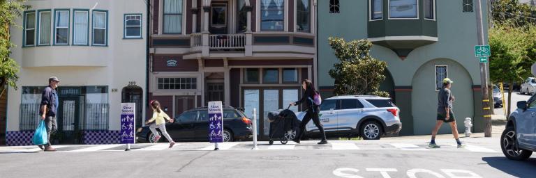
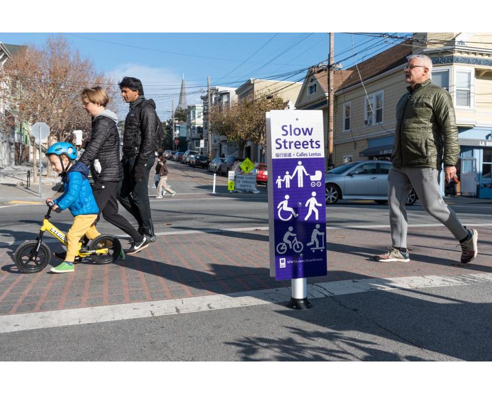
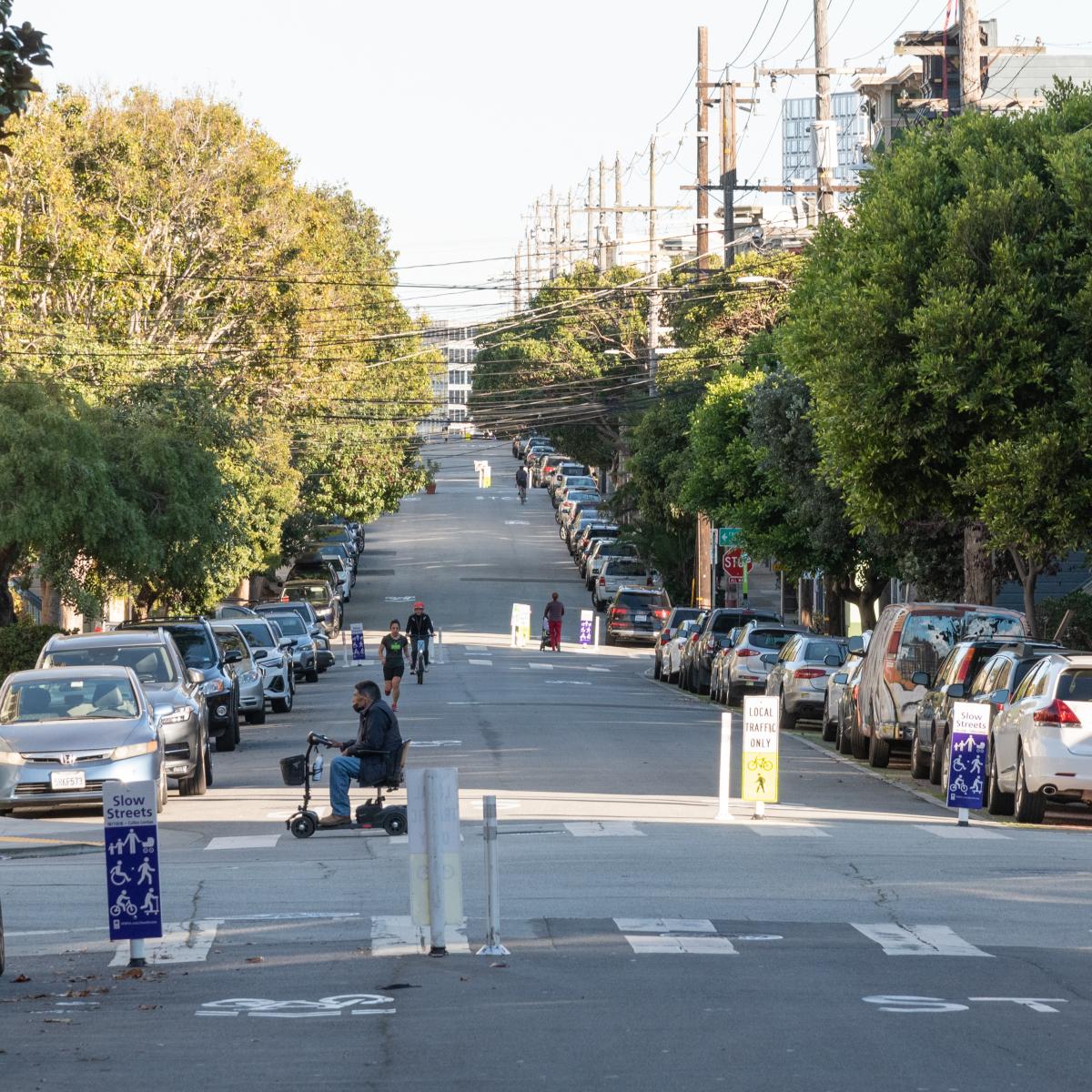
Slow Streets are safe, comfortable, low-vehicle-traffic routes that prioritize active transportation and community-building. These shared streets are thoughtfully designed and implemented on residential streets to provide safe, comfortable alternatives to driving. They are open to all forms of transportation, including vehicles accessing properties along the corridor, and emphasize slow and safe speeds to support a diverse mix of uses.
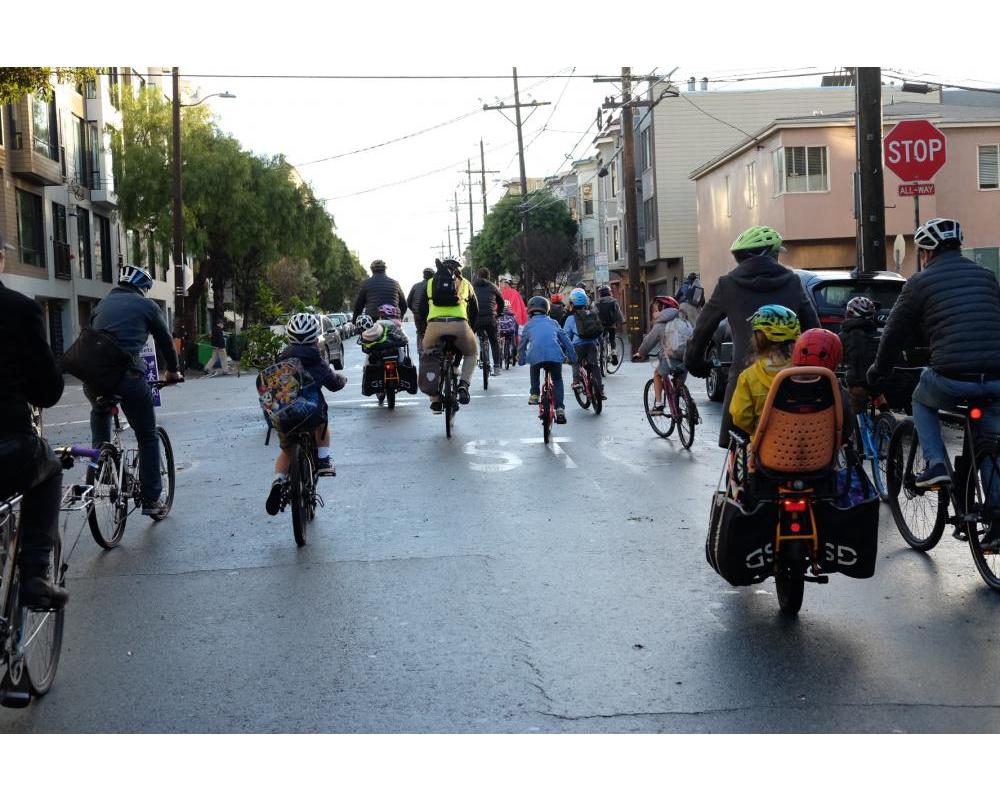
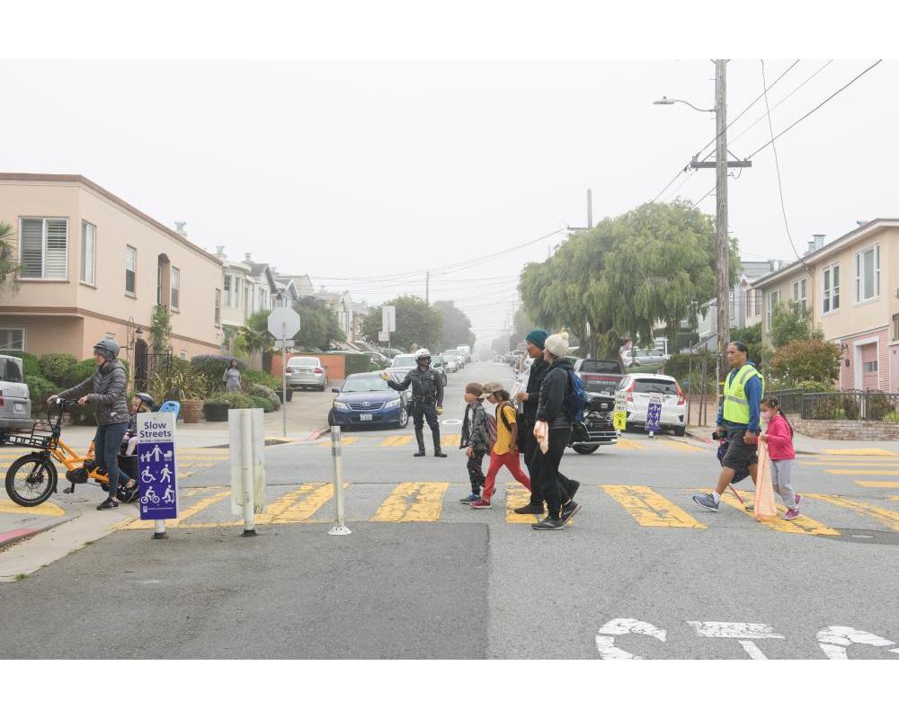
Slow Streets support San Francisco’s goals to create a connected, citywide Active Transportation Network, eliminate deaths and severe injuries related to transportation, and encourage more people to choose low-carbon ways to travel for their daily trips. They are part of a growing, connected network of streets that are safe and welcoming places to walk, bike and roll for people of all ages and abilities. On Slow Streets, kids can bike safely to school, families can run errands, and people with disabilities can find safe, accessible space to move through their communities.
The Slow Streets Program was approved by the SFMTA Board of Directors on December 6, 2022. Our How To Use Slow Streets fact sheet provides further information about how to use Slow Streets safely and respectfully.
The SFMTA Slow Streets program includes two complementary initiatives:
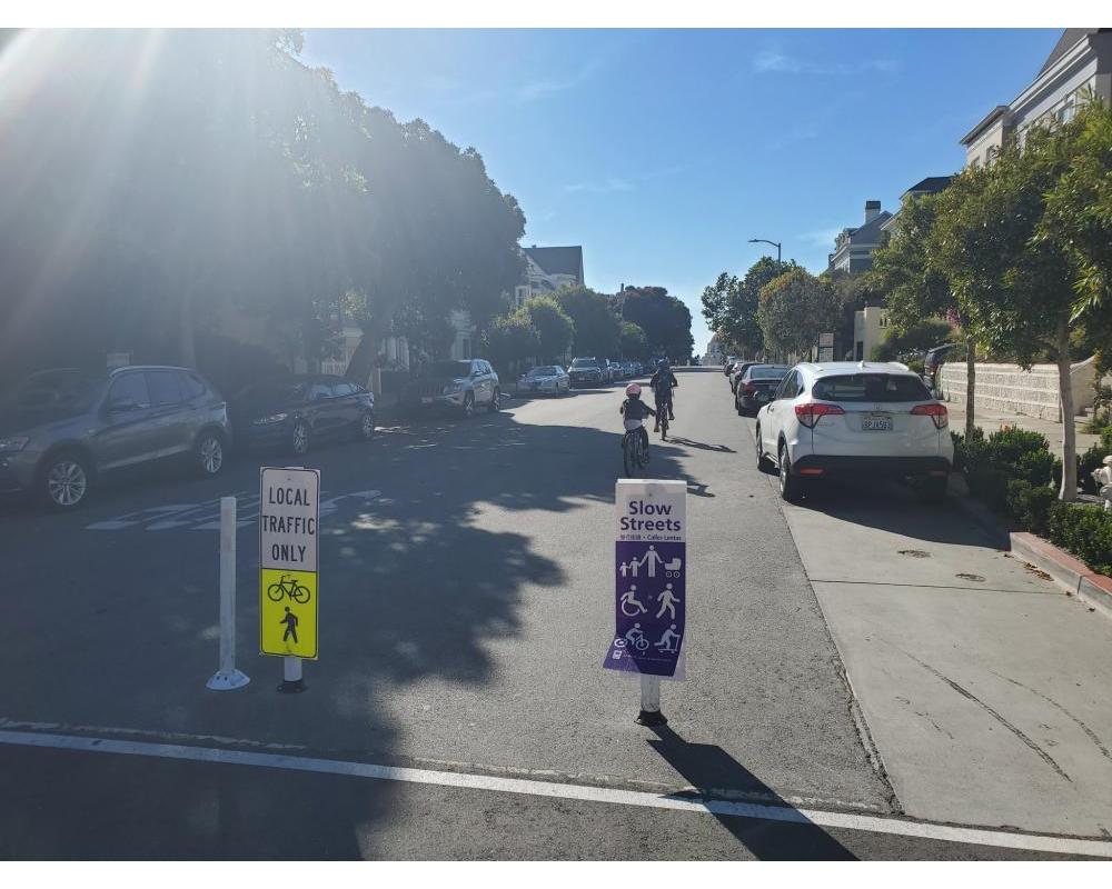
Street design: The SFMTA will implement design treatments on San Francisco streets that meet the Program’s eligibility criteria to create low-stress, shared corridors that prioritize active transportation. Slow Streets use a suite of durable design treatments to create these streets, including:
- Turn restrictions
- Traffic diverters
- Traffic calming (i.e. speed humps, cushions, tables)
- STOP signs
- Roadway narrowing
- Wayfinding signs + pavement markings
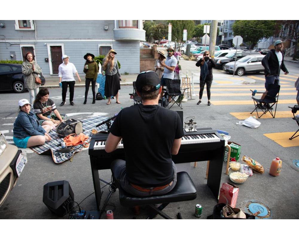
Community building: In an effort to enhance placemaking on Slow Streets, the SFMTA launched the Slow Streets Mural Pilot Program in 2023. The murals will be designed, implemented, and maintained by community members and be painted directly onto the street pavement. The murals will not only brighten Slow Streets around the city with art, but also promote Slow Streets as community spaces and slow vehicle traffic.
Where to find Slow Streets in San Francisco
The Slow Streets concept works best on primarily residential streets that are relatively flat, straight, and have mostly stop-controlled intersections instead of traffic signals. MUNI routes and emergency response corridors do not work as Slow Streets. The current list of Program corridors includes:
- 12th Avenue, from Lincoln Way to Lawton Street
- 20th Street, from Shotwell Street to Potrero Avenue
- 22nd Street, from Bryant Street to Chattanooga Avenue (pending further outreach)
- 23rd Avenue, from Lake Street to Cabrillo Street
- Arlington Street, from Roanoke Street to Randall Street
- Cabrillo Street, from 45th Avenue to 23rd Avenue
- Cayuga Avenue, from Naglee Avenue to Rousseau Street
- Clay Street, from Arguello Boulevard to Steiner Street
- Golden Gate Avenue, from Parker Street to Broderick Street
- Hearst Avenue, from Ridgewood Avenue to Baden Street
- Lake Street, from Arguello Boulevard to 28th Avenue
- Lyon Street, from Turk Street to Haight Street
- Minnesota Street, from Mariposa Street to 22nd Street
- Noe Street, from Duboce Avenue to Beaver Street
- Page Street, from Stanyan Street to Octavia Boulevard
- Sanchez Street, from 23rd Street to 30th Street
- Shotwell Street, from Cesar Chavez to 14th Street
- SoMa Slow Streets: Lapu-Lapu, Rizal, Tandang Sora, Bonifacio and Mabini streets between Folsom Street and Harrison Street
- Somerset Street, from Silver Avenue to Woolsey Street
Program goals and criteria
Through the Slow Streets program, the SFMTA aims to expand the city’s growing Active Transportation network and encourage more people of all ages and abilities to travel by low-carbon modes. It i’s essential that Slow Streets are safe, comfortable, shared corridors for all. To make Slow Streets work, traffic volumes need to stay low, as do vehicle speeds. The SFMTA is taking a data-driven approach to ensuring Slow Streets meet the following low-stress criteria, taking guidance from National Association of City Transportation Officials standards:
- Vehicle volumes of 1,000 per day or less
- Vehicle speeds of 15 mph or less
The SFMTA will collect data on both traffic volumes and speeds and adjust corridor designs as necessary to achieve true low-stress corridors.
Additionally, it’s important for all users of Slow Streets to follow guidelines for behavior and use on these corridors. At a high level: Everyone is welcome, and please go slow! For more in-depth guidelines, please review our How To Use Slow Street Fact Sheet for best practices to keep everyone feeling safe and welcome.
Implementation and program expansion
Following the establishment of the Slow Streets program by the SFMTA Board of Directors on December 6, 2022, the Program team will be focused on collecting data on all corridors to inform any additional design changes needed to meet the Program targets.
Potential corridors for program expansion will be identified through community outreach, parallel SFMTA efforts like the Biking and Rolling Plan, and resident input.
Funding
This program was made possible in part by Proposition K Sales Tax dollars provided by the San Francisco County Transportation Authority.
