On October 19, 2021, the SFMTA Board of Directors approved the Lake Merced Pedestrian Safety Community-Based Transportation Plan (CBTP). The plan outlines near and long-term recommendations on Lake Merced Boulevard between Skyline and John Muir including the creation of the Lake Merced Quick-Build Project, which will implement quick, effective, and low-cost safety treatments in the project area. This Quick-Build project is currently in the planning phase and will include extensive community outreach. Please visit the project page to subscribe to project updates.
We thank you for your participation in the Lake Merced Pedestrian Safety Project and look forward to working with you further on the Lake Merced Quick-Build Project.
If you have questions about the Lake Merced Pedestrian Safety CBTP, please contact Adrienne Heim, Transportation Planner, Adrienne.Heim@sfmta.com, 415.646.2564.
- Completed
Project Overview
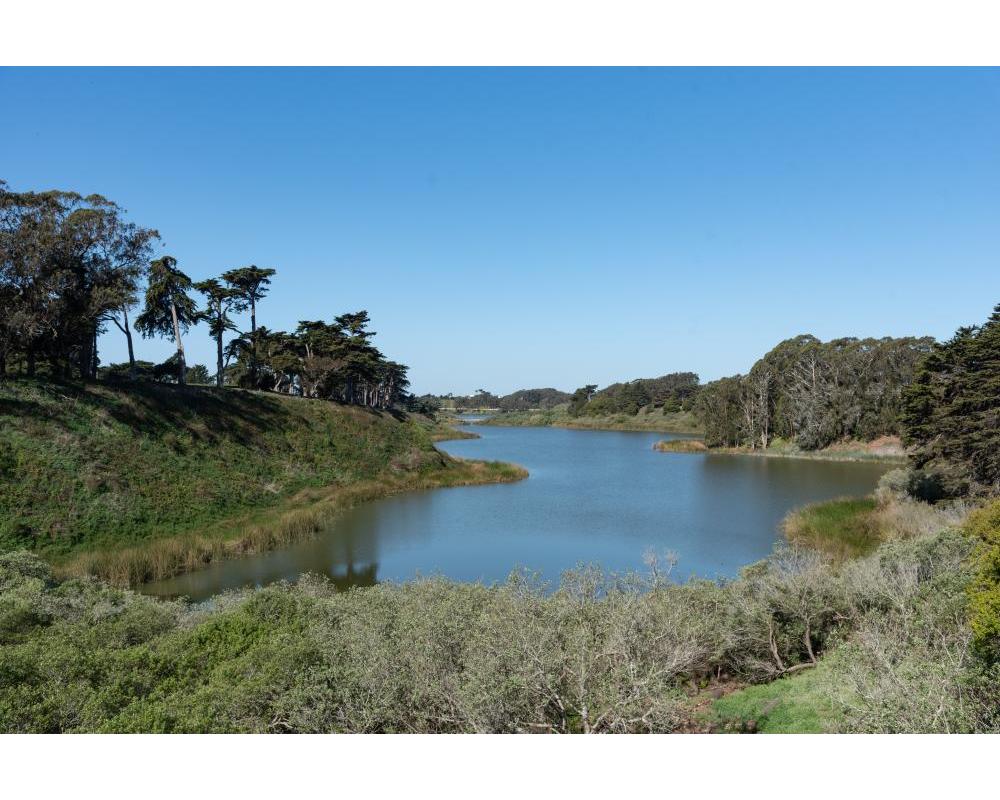
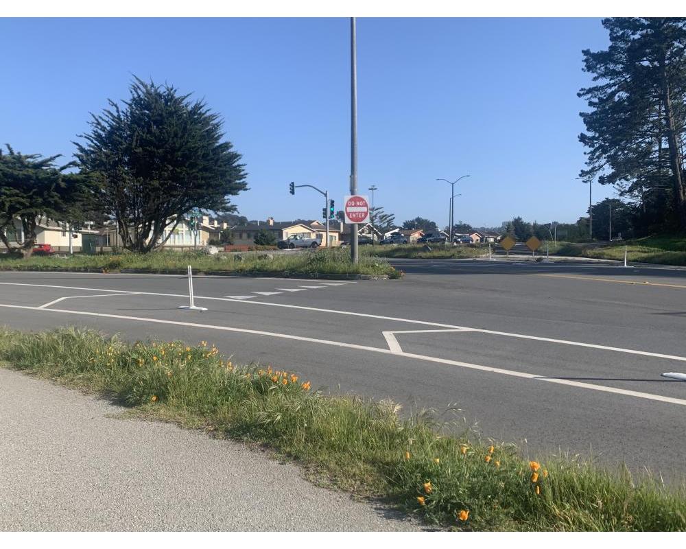
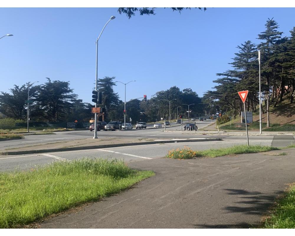
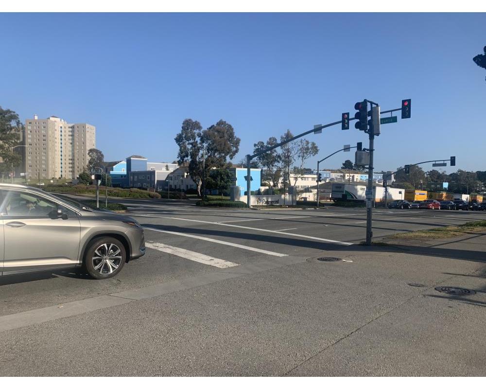
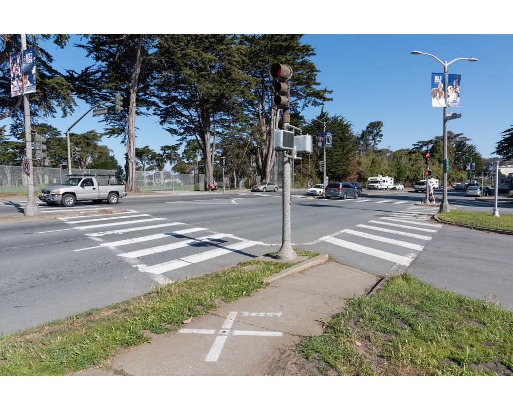
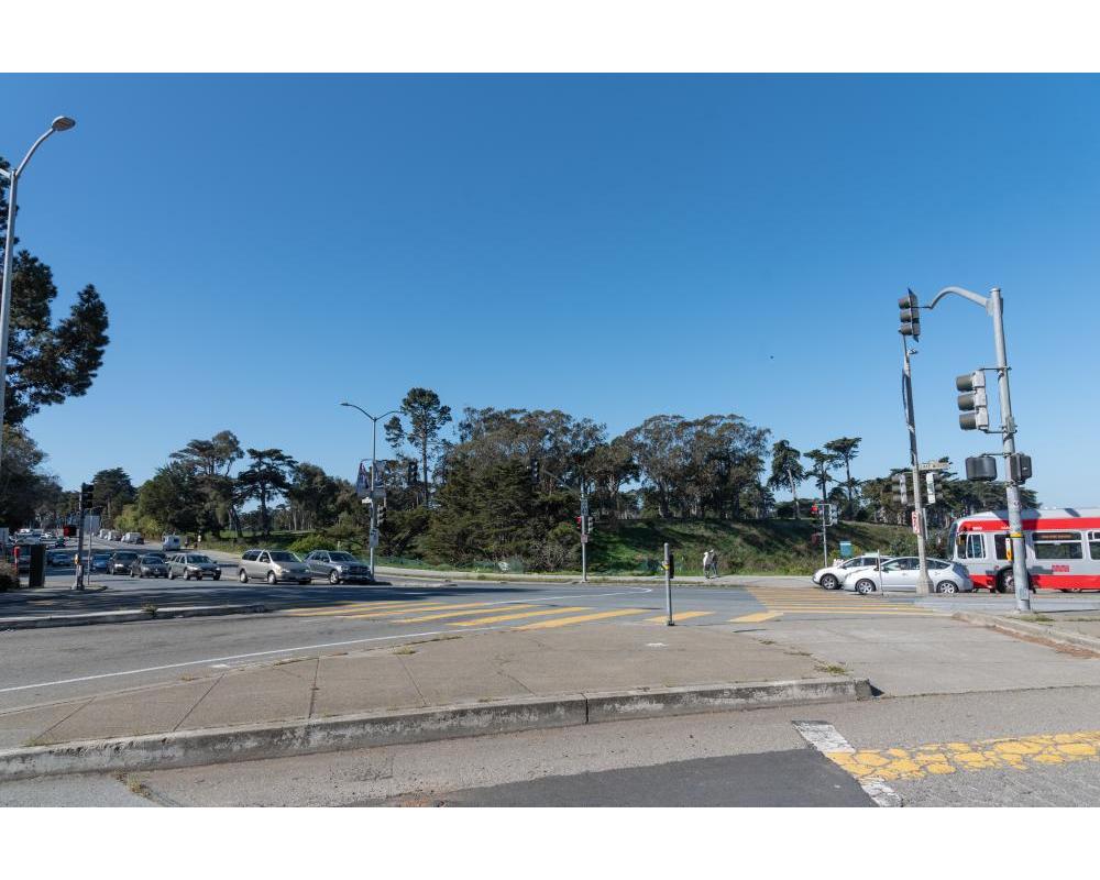
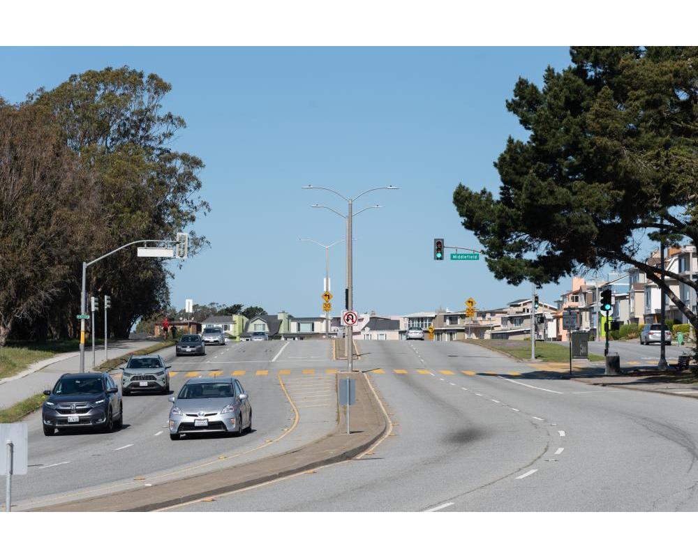
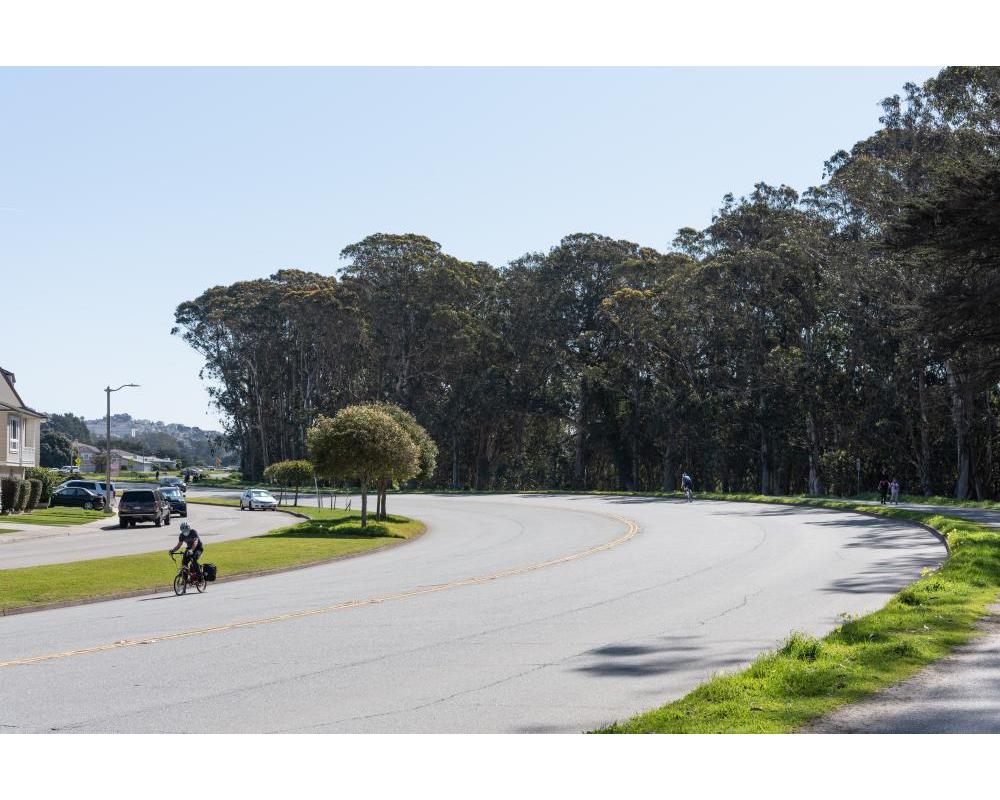
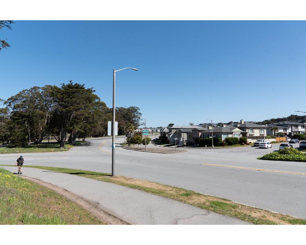
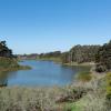
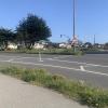
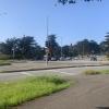
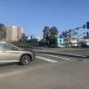
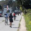
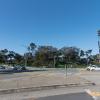
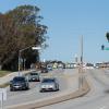
Lake Merced Boulevard between Skyline Boulevard and John Muir Drive is located in the southwestern corner of San Francisco and is surrounded by major recreational, education, and shopping destinations: Lake Merced Park, San Francisco State University, Lowell High School, Lakeshore Elementary School and Stonestown Galleria. Lake Merced Boulevard is one of three major roadways (i.e. John Muir Dr. and Skyline Blvd. are also major roadways) that provide access to the park, residential neighborhoods, and connections to local and regional public transit service (e.g. Muni 29 Sunset and SamTrans 122 lines). Lake Merced Boulevard is an official city bicycle route where cyclists can either use the bike path around Lake Merced or share the roadway with drivers on the north side of the street.
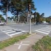
The area north and east of Lake Merced Park on Lake Merced Boulevard between Font and Sunset boulevards is part of San Francisco's Vision Zero High Injury Network (HIN), were 75% of the city's traffic injuries and fatalities occur on just 13% of San Francisco streets. The Lake Merced Pedestrian Safety Project will identify safety improvements at pedestrian crossings along Lake Merced Boulevard between Skyline Boulevard and John Muir Drive. This project along with the Lake Merced Bikeway Feasibility shall run concurrently and coordinate with other projects in the area, including San Francisco Recreation & Park’s Lake Merced Improvement Project.
Lake Merced Pedestrian Safety Project
The Lake Merced Pedestrian Safety Project will study conditions for pedestrian safety and access along Lake Merced Boulevard between Skyline Boulevard and John Muir Drive. The project will include public outreach including the formation of a steering committee to understand current walking patterns, barriers and opportunities to improve pedestrian connections to and from Lake Merced Park and nearby transit stops. A traffic engineering analysis will review existing conditions, including collisions and traffic patterns, and an assessment of requirements to update the transit stops up to or beyond minimum standards.
The project will culminate in a Community-Based Transportation Plan (CBTP), and will include recommendations for improvements, preliminary conceptual designs, and an implementation plan.
The CBTP will reflect community needs and desires for the project that are feasible and implementable.
Lake Merced Pedestrian Safety Steering Committee
As part of the CBTP, a steering committee was created that is made up of 10 neighbors and stakeholders that include diverse interests and backgrounds including WalkSF, Merced Extension Triangle Neighborhood, Lakeshore Elementary, SFSU, Pomeroy Recreation and Rehabilitation Center, District 7 staff, residents, and regular commuters. The committee will weigh in on elements of the project including establishing baseline conditions, performing a community safety assessment, and developing a prioritize list of projects for Lake Merced Boulevard.
Committee meetings are scheduled monthly through June 2021.
Related Projects
The SFMTA recently completed signal timing improvements across D7 (pedestrian head starts and more crossing time).
San Francisco Recreation and Parks Lake Merced 2012 Bond Project is currently implementing improvements (in two phases) to the northern portion of pathway include restoring asphalt, shoulder, and new curb ramps. Phase 1 - From Harding Rd. to Sunset Blvd. (along Skyline Dr. and the westernmost segment of Lake Merced Blvd.) and Phase 2 - The eastern half from Sunset Blvd. to Winston Dr. Construction is expected to break ground in early 2022.
The Parkmerced development will add signals and pedestrian improvements (bulbs/pedestrian refuge areas/automatic pedestrian signals) at Vidal, Acevedo, Higuera and Gonzalez (in 2-7 years).